Featured

“Sacred Ground” ~ Normandy American Cemetery and Memorial

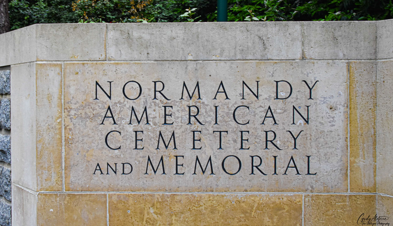
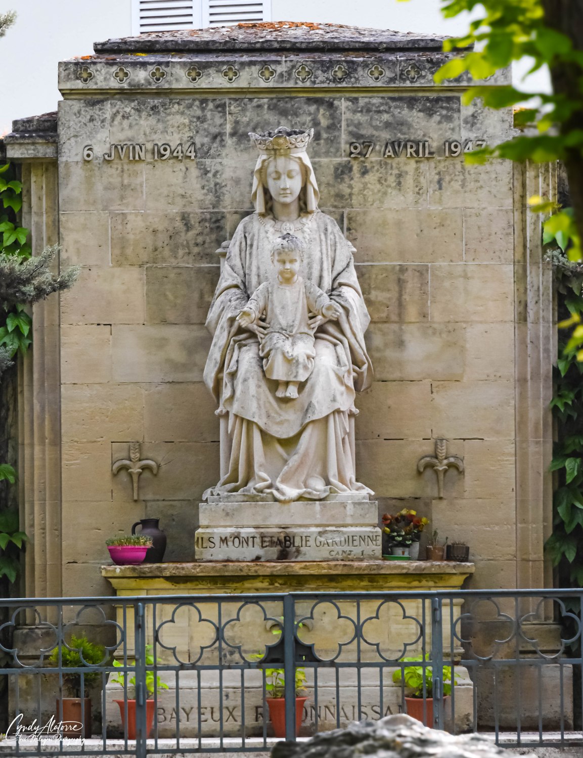
Sacred Ground. That is a pretty good definition of the Normandy American Cemetery and Memorial.  It is a final resting place for the 9,387 U.S. service members , most of whom died on D-Day on June 6, 1944. For some, it is where they come to remember their family member who died that day and for others it may be a pilgrimage to bring closure and healing. Others come to learn and understand. For me, it was our last stop before we wrapped up our trip to the Normandy region and and was the perfect way to end my bucket list trip.

Shortly after the war, France bestowed 172 acres of this beautiful space, just east of the original burial area, to the United States government to create a formal burial area to relocated those killed and immediately buried after the D-Day invasion. This generous act was a token of France’s deep appreciation and thanks to their American liberators for their service and great sacrifice to free their citizens and country.

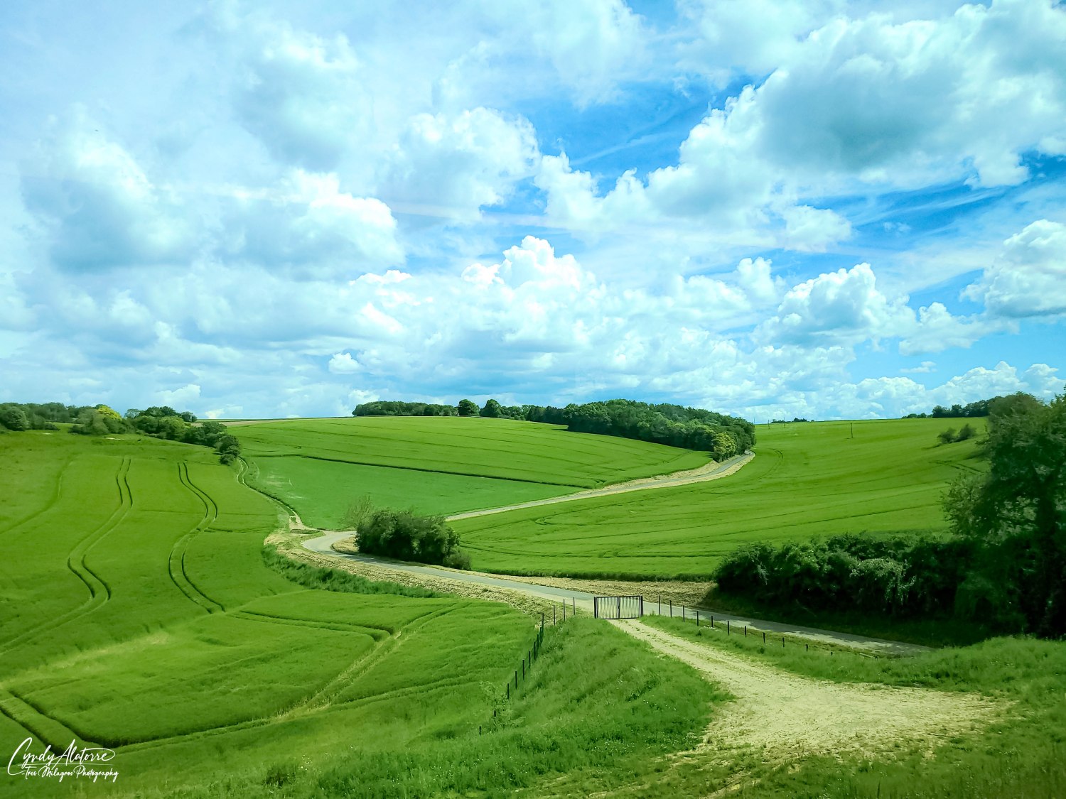
As we walked along the entrance to the cemetery and memorial, we came across beautiful landscape. It was very pretty but I immediately noticed that it was different from what I had been seeing in the countryside the last few days. There were Pine trees, flowers and foliage I have seen back home. It felt familiar. But why was it here?

Our guide shared with us that in designing this special site, their goal was to create a resting place that would resemble being in the United States. During World War II, the casualties from the D-Day invasion were not returned home and instead were usually interred near where they died. Often families were not able to attend services for their loved one. This was all the more reason that the architects understood the importance and significance of creating a place ” like home” for these service members to be buried at. Utilizing trees, flowers, bushes as well as other greenery native to America, they successfully create a sacred and similar “home” for these allied members to be buried at to rest in peace.

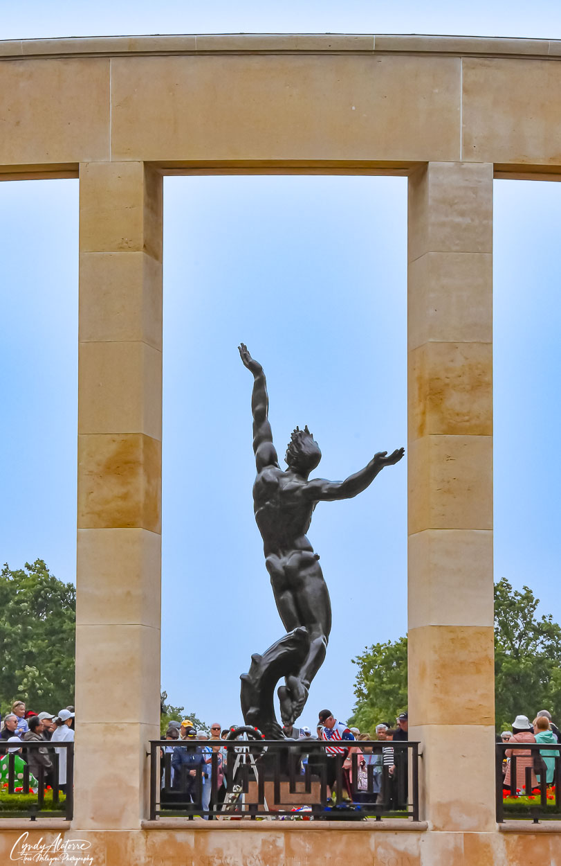
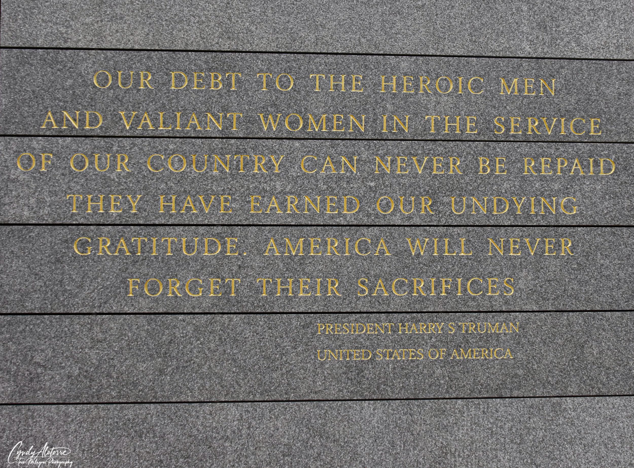
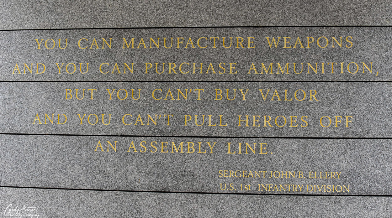
Coming into the memorial you can not help but notice the large and impressive statue between several tall stone columns, whose arms are open wide as if embracing the sky. Looking more like a work of art, my impression was that it was a tribute to the spirit of the young men who died on D-Day. It was beautiful, strong, and in a way gave a sense of hope. It was a reminder of the huge loss of youth and life on the beaches near by and that their spirit lives on.

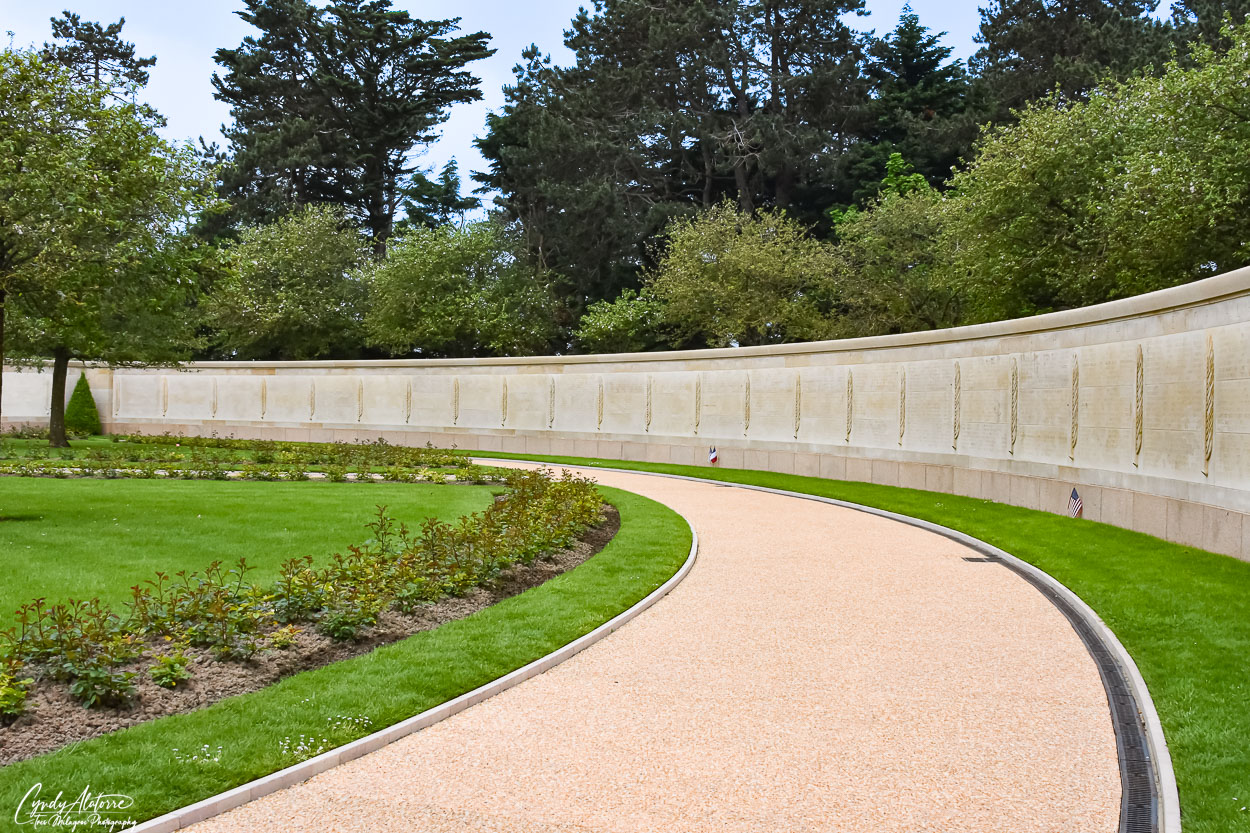
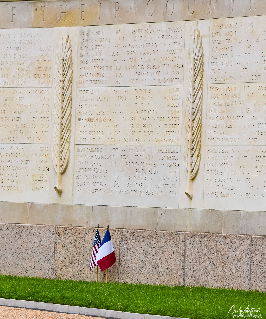
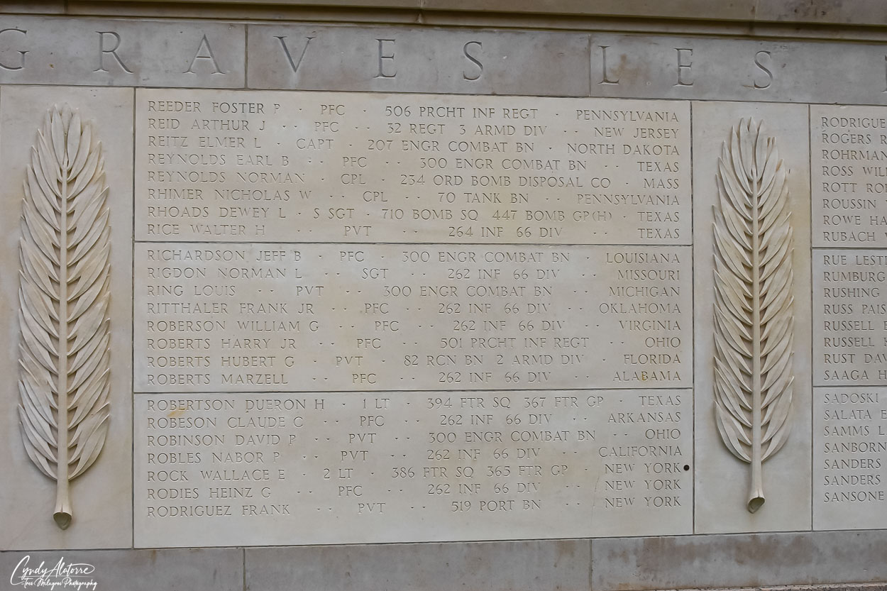
At the rear of the memorial was the Wall of the Missing. This garden is home to the names of 1,557 service members who were killed during the D-Day invasions and were missing or could not be identified or accounted for. The garden consist of roses, grass and trees encircled by two large semicircular walls that have the names of these service members engraved into the stone. There were so many names. It made its point. We were told that every so often, the remains of the servicemen would be found and they were able to render honors and properly bury them. When this happened, they would put a small marker next to the name on the wall to indicate that they had been found. Look at the photograph below and you will see a small black marker next to a name of a servicemen they located.

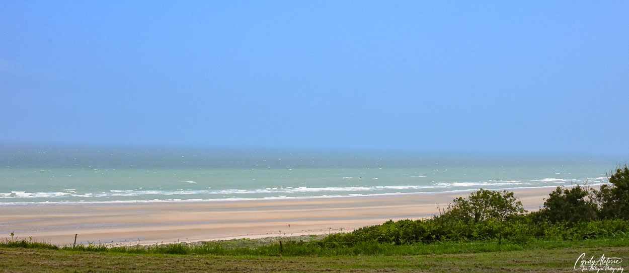
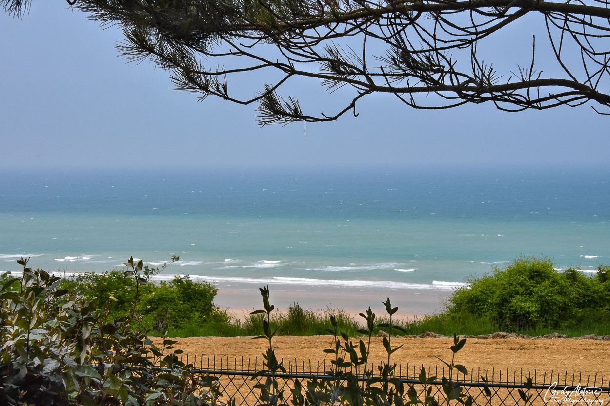
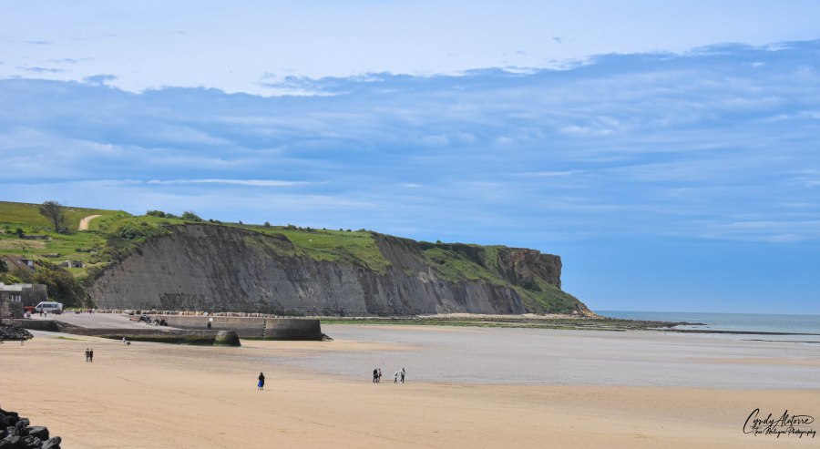
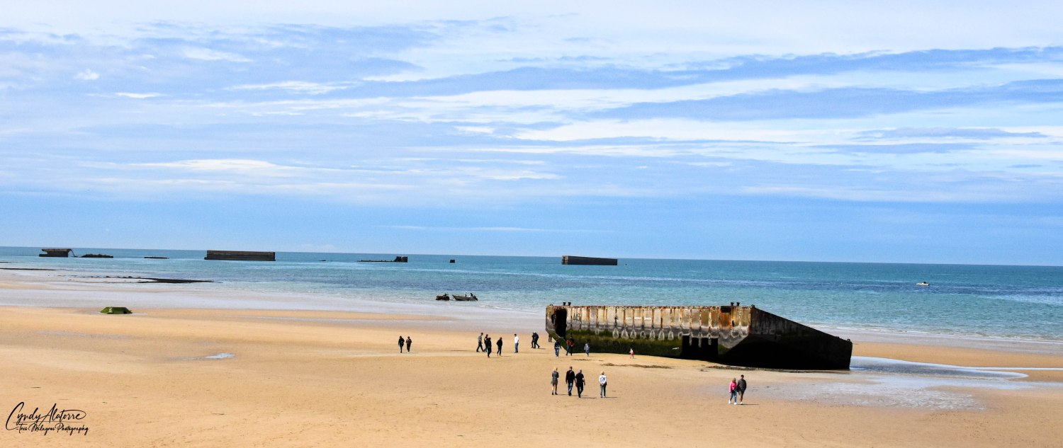
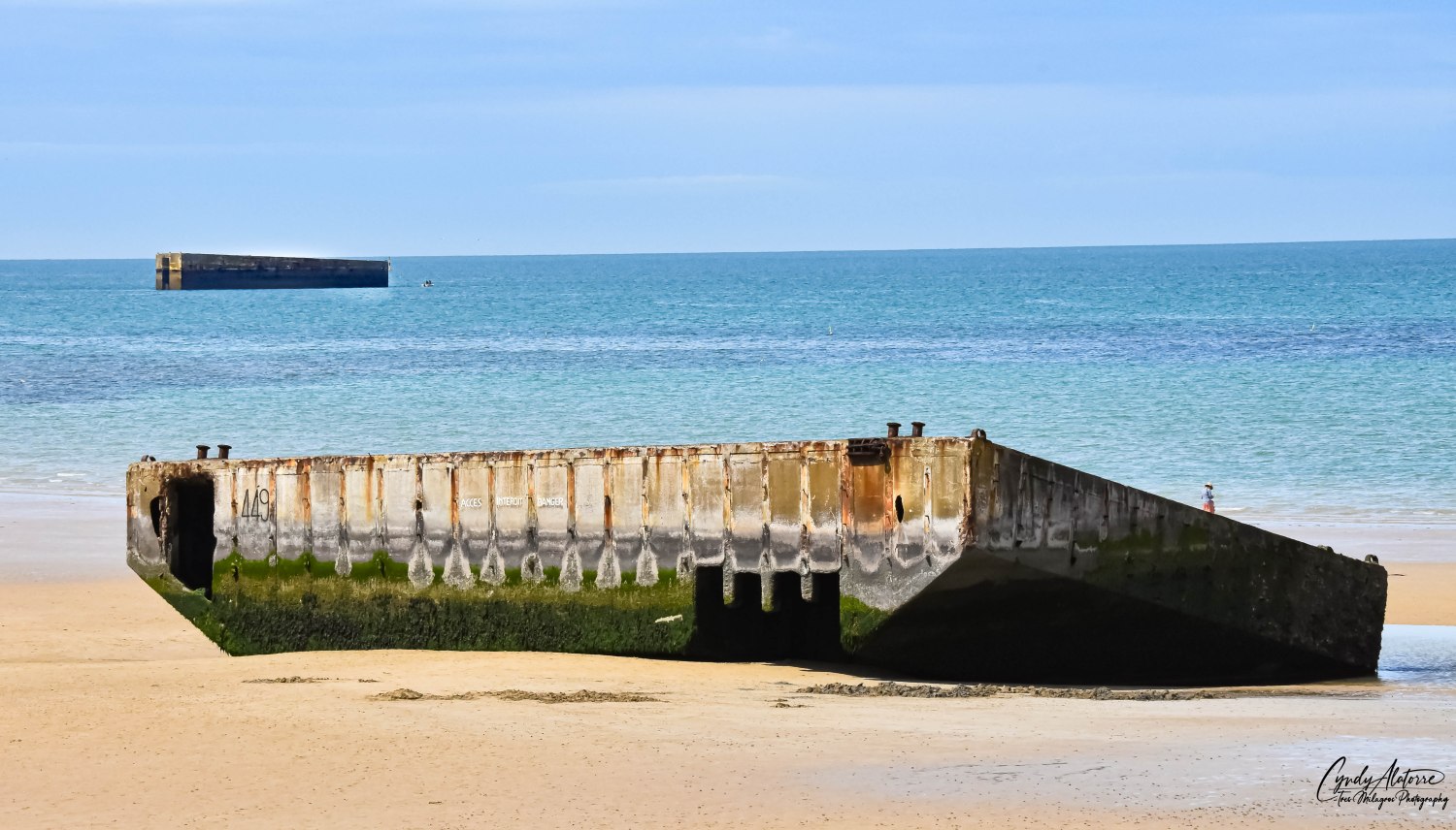
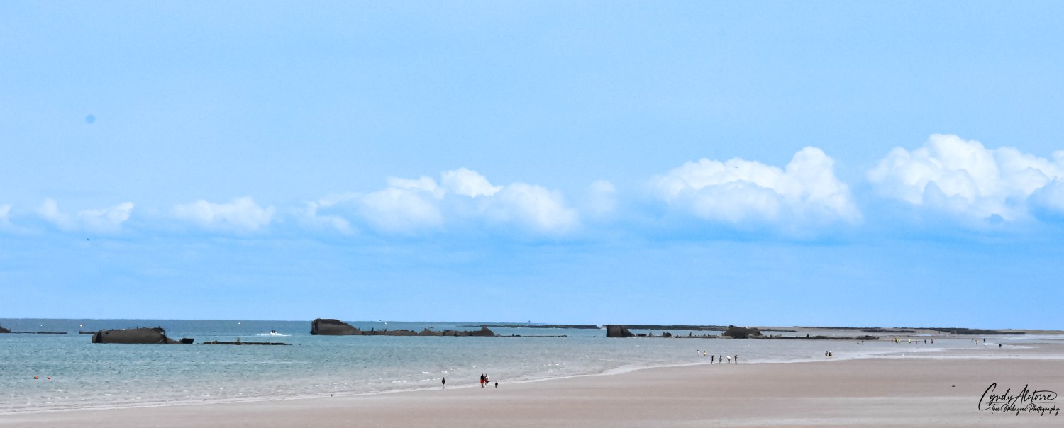
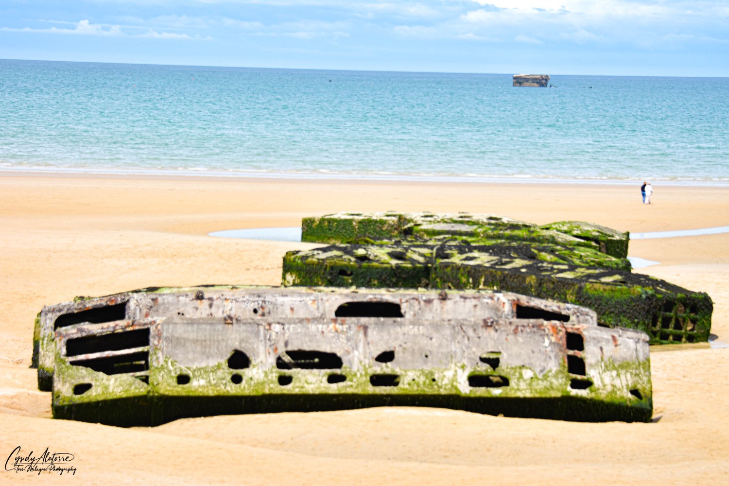
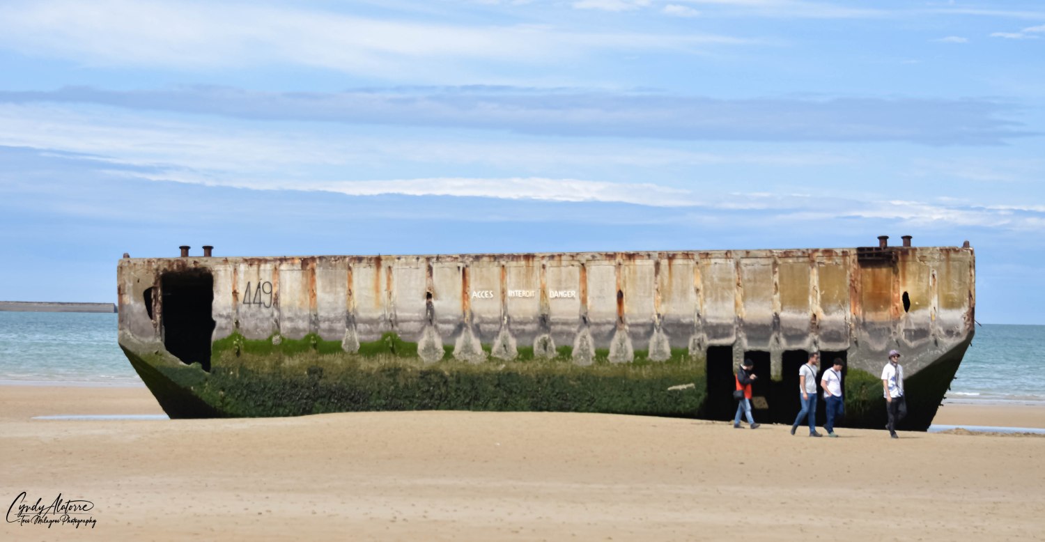
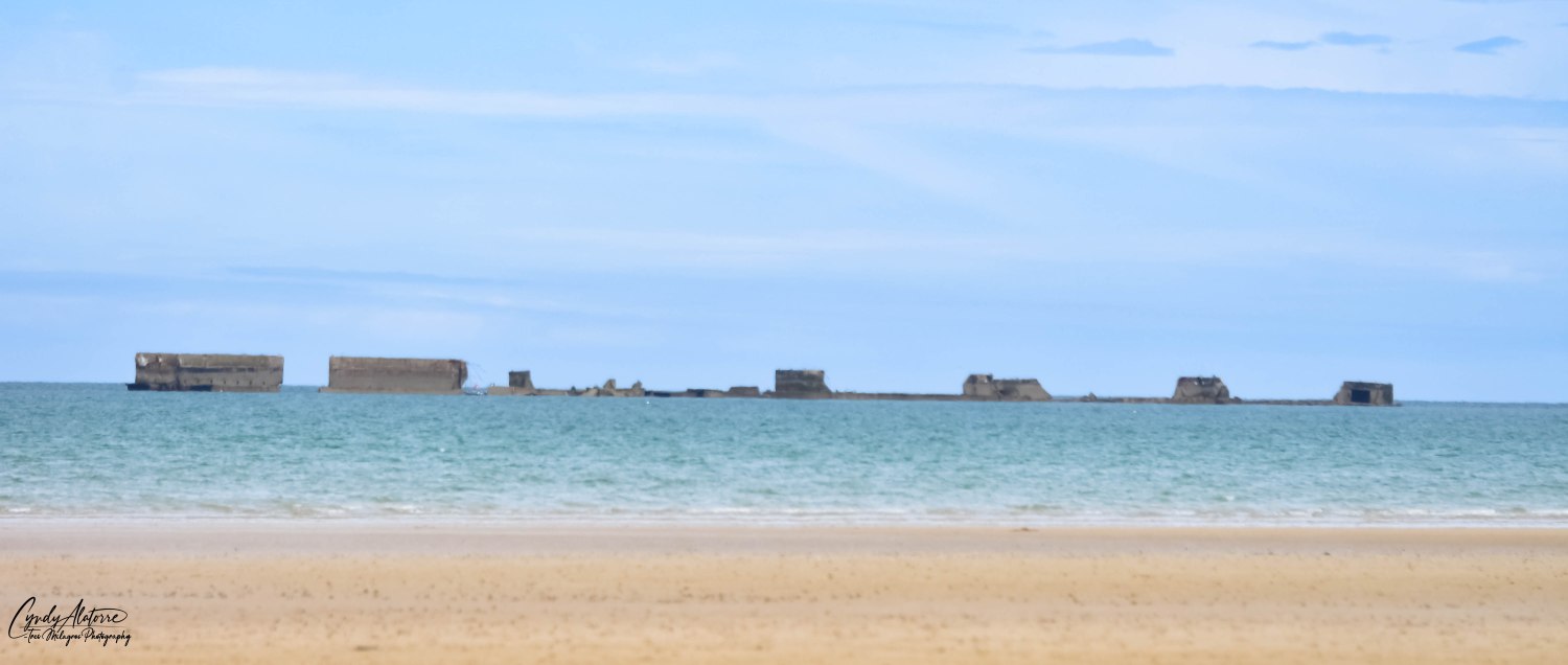
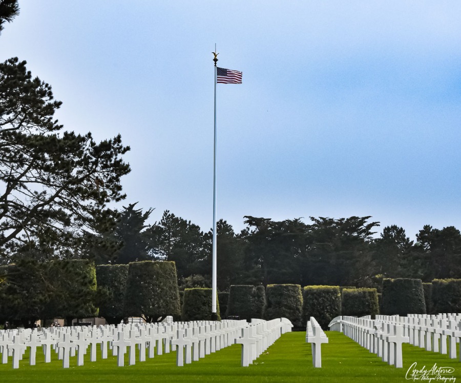
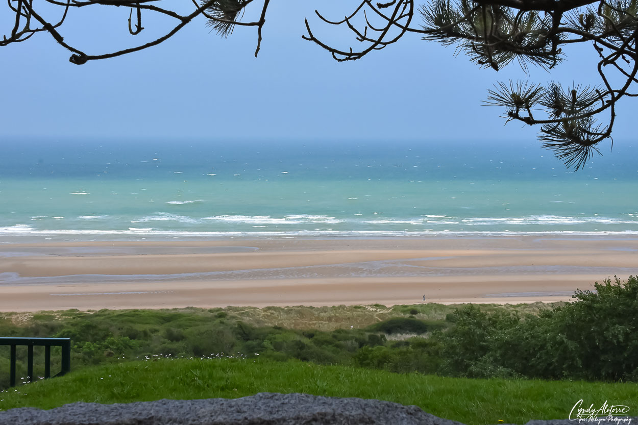
Being on the bluffs above Omaha Beach, you feel the sea breezes and could smell the ocean. From the walkway the view is scenic with pine trees lined along the walkway. Different hues of blue and green blended together in the water and the shore looked smooth and calm. Looking straight out, it’s hard to imagine that thousand of warships were out in those seas and 34,000 plus servicemen stormed the shore below. It is fitting that the cemetery is located where it’s at and so close to where so many met their demise on the beach below. 

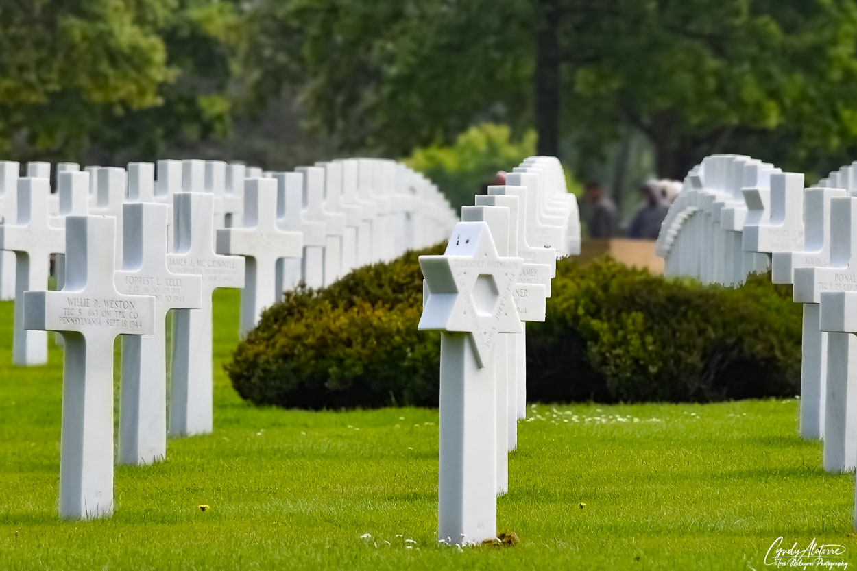
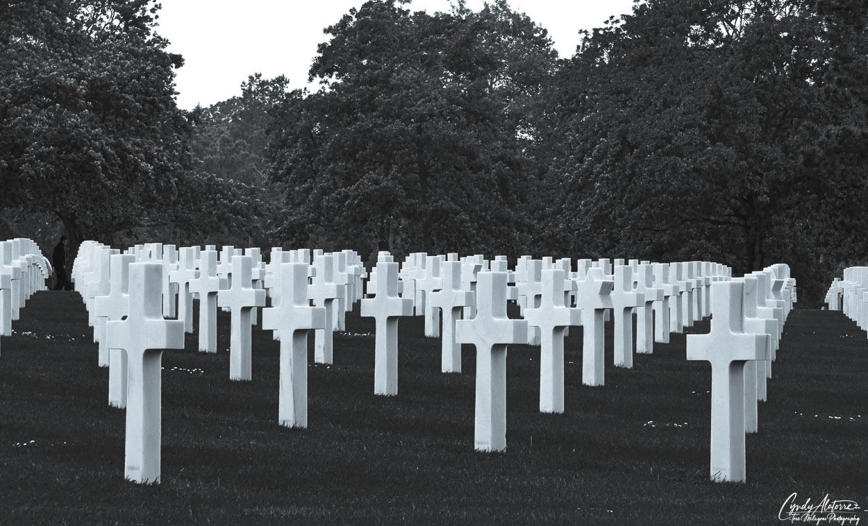
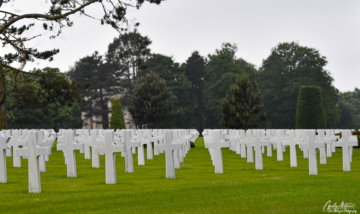
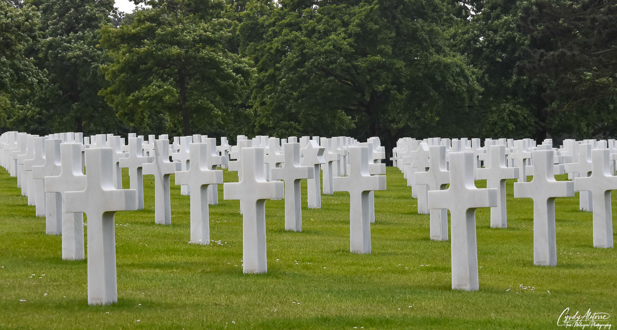
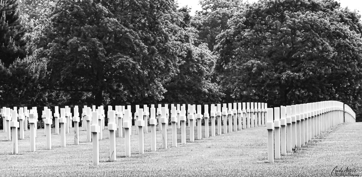
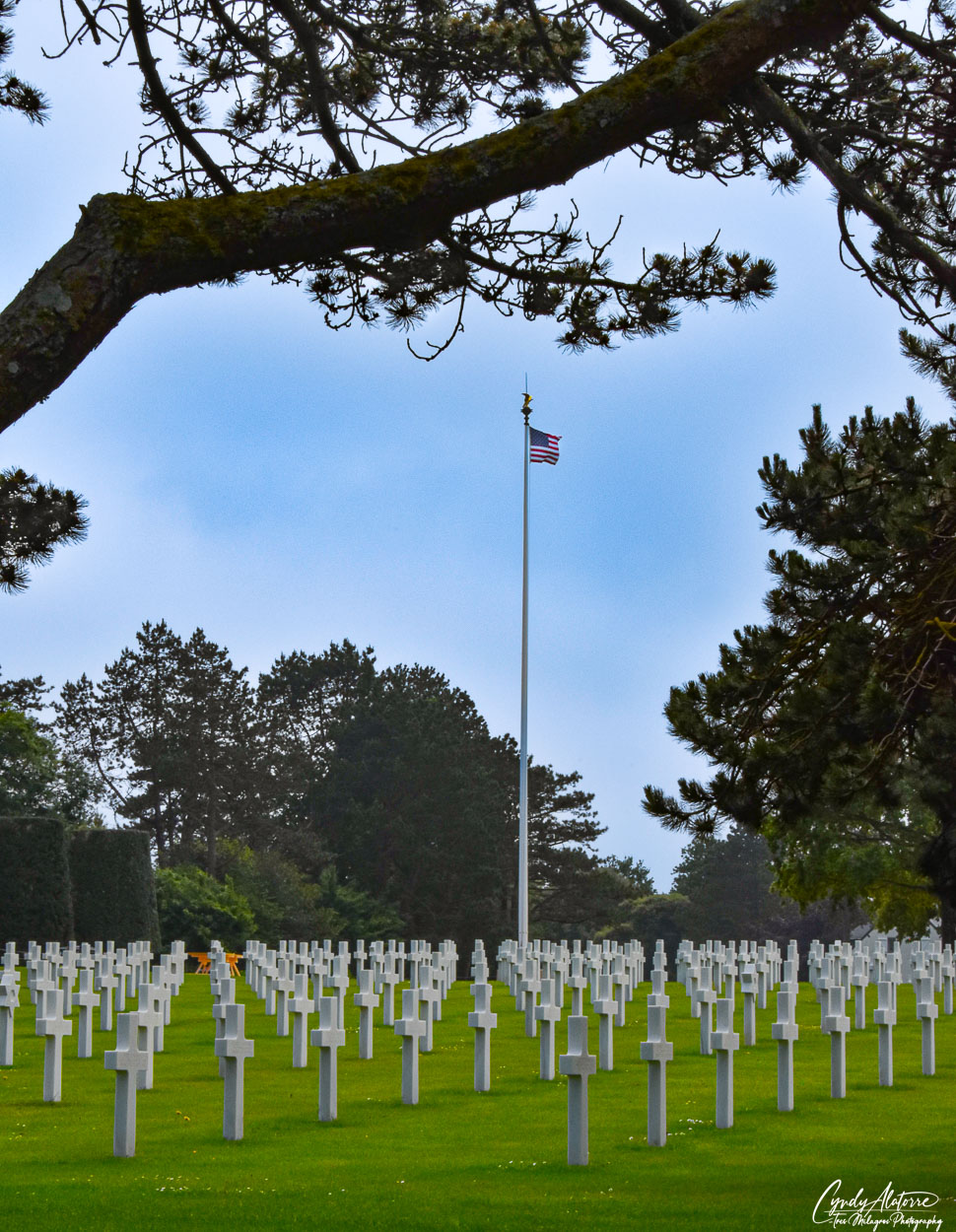
Just a few feet over on the other side of the walkway was the cemetery. Manicured lawns were filled with white Latin crosses and Star of David gravestones, all perfectly aligned as if they were in formation. It was peaceful and serene and you could sense the historical importance of it all .

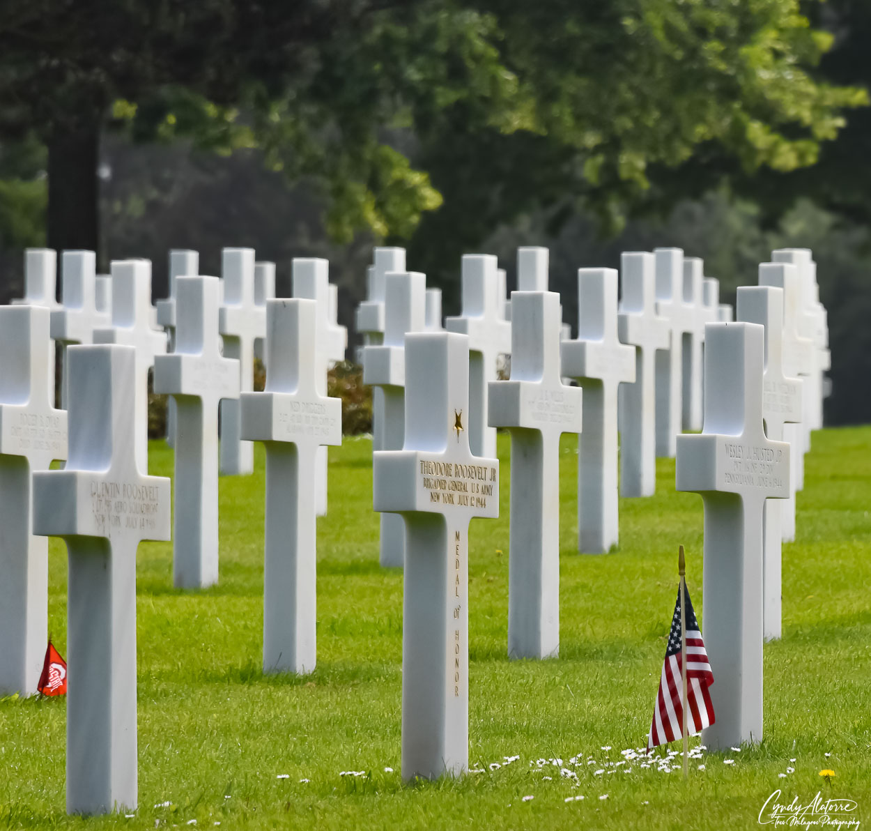
Brothers bonded by serving together are buried here. Thirty three sets of biological brothers are buried side by side and another 12 brothers lie in the same cemetery, just different areas. There is even a father and son buried side by side as well as three Medal of Honor recipients, one of which is Theodore Roosevelt Jr., son of President Theodore Roosevelt. 

Walking around the grounds, there was an air of reverence and visitors were respectful as they made their way through the memorial, gardens and cemetery. The cemetery is also home to the The Normandy Memorial Center. It was good to see this center making an effort to teach current and future generations of the significance of D-Day and the sacrifice that were made by so many during World War II.

After experiencing the cemetery, surrounding grounds and various sites, I left with a better understanding and appreciation for many things. Among them is a greater appreciation for those that participated in the D-Day invasion, the sacrifice that these servicemen and their families made for this great cause and fortunate to be able to travel in person to see and sense where history occurred. Again, traveling proved to be a great teacher. 

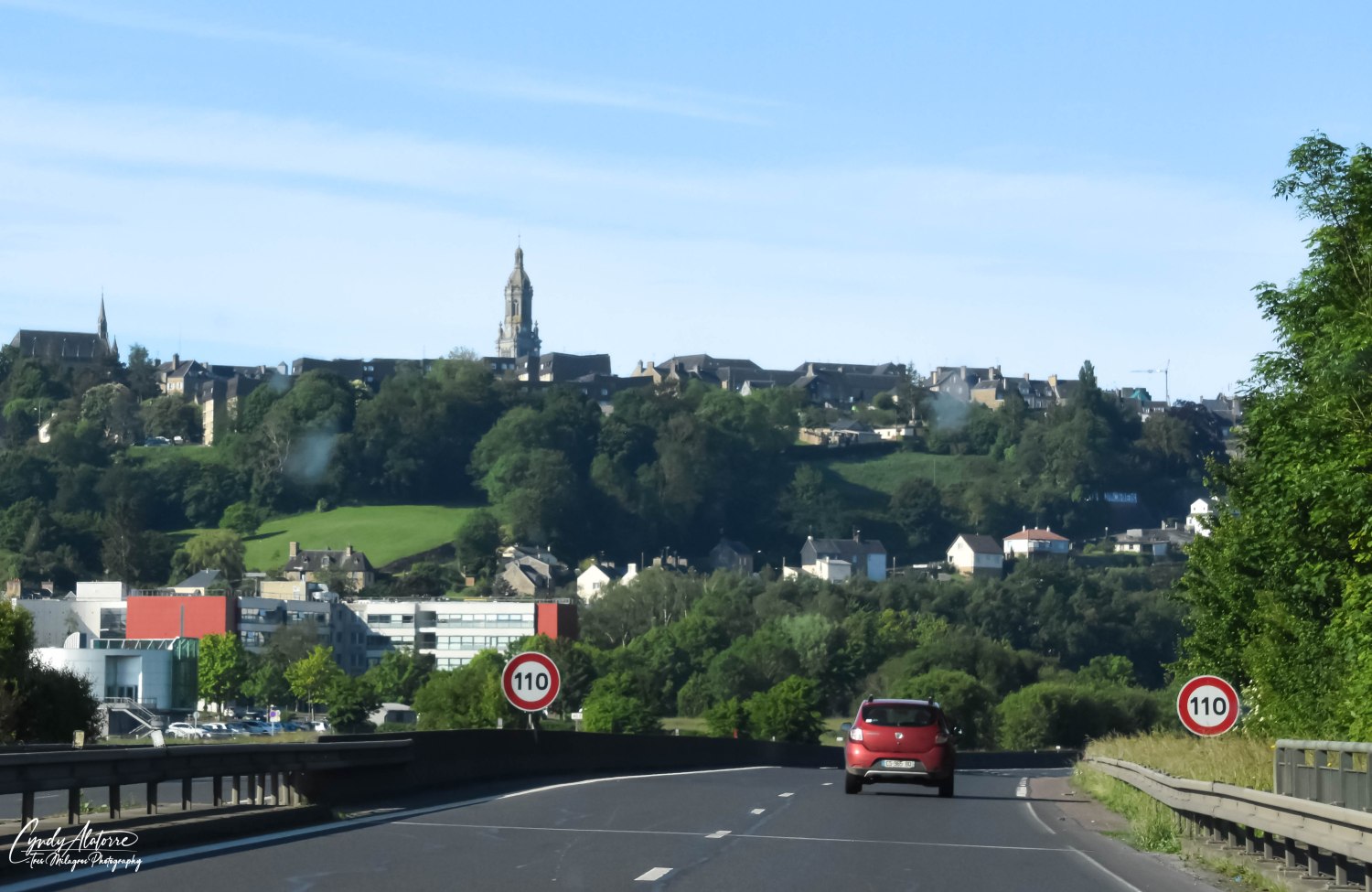
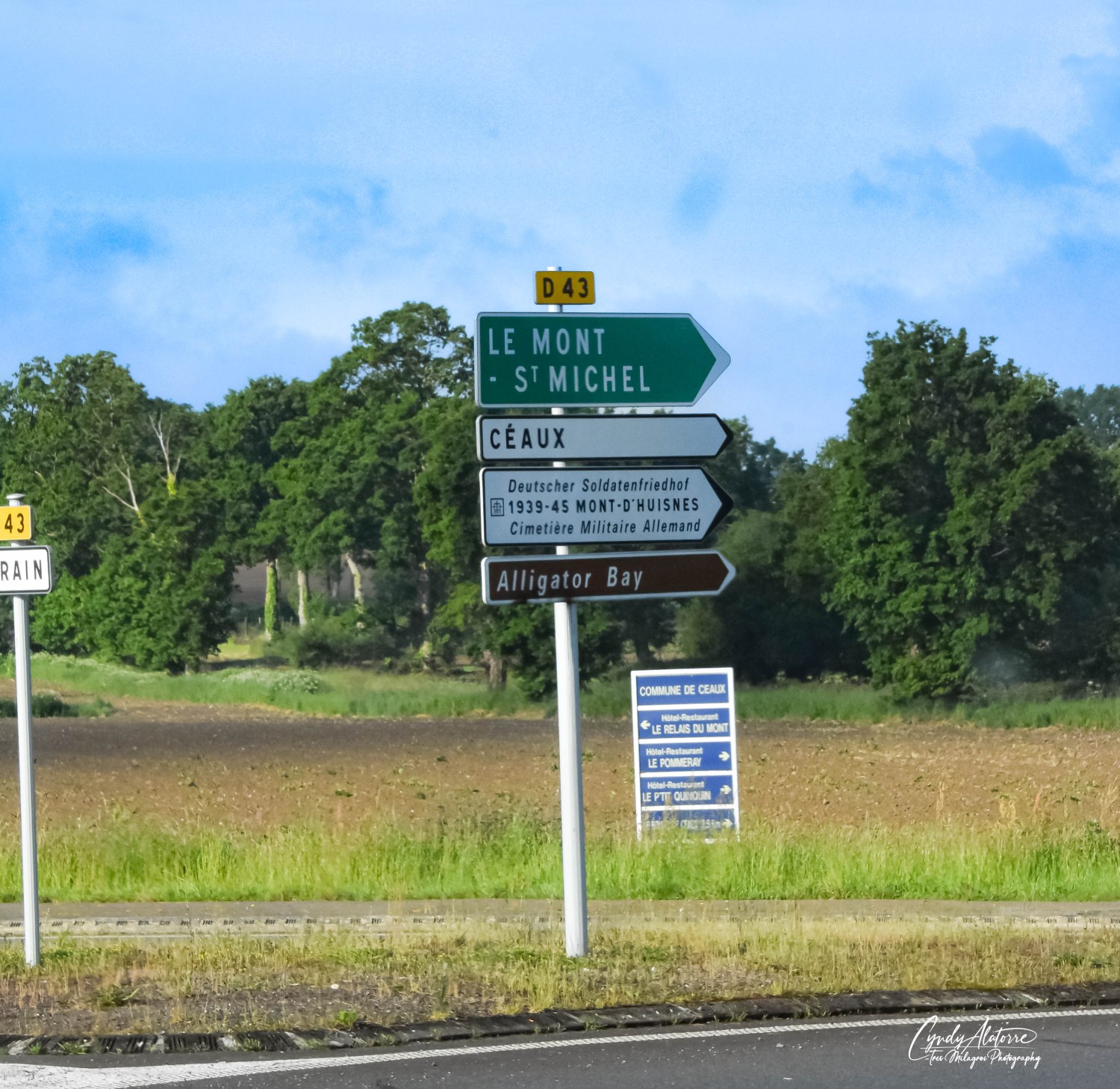
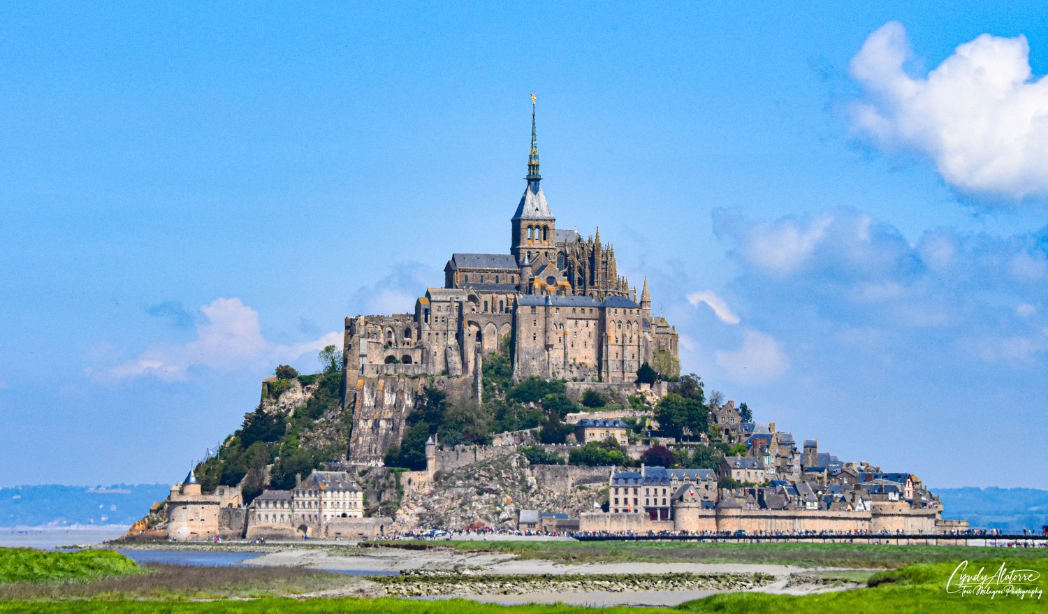
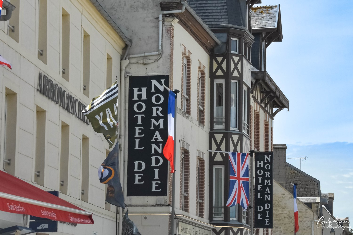
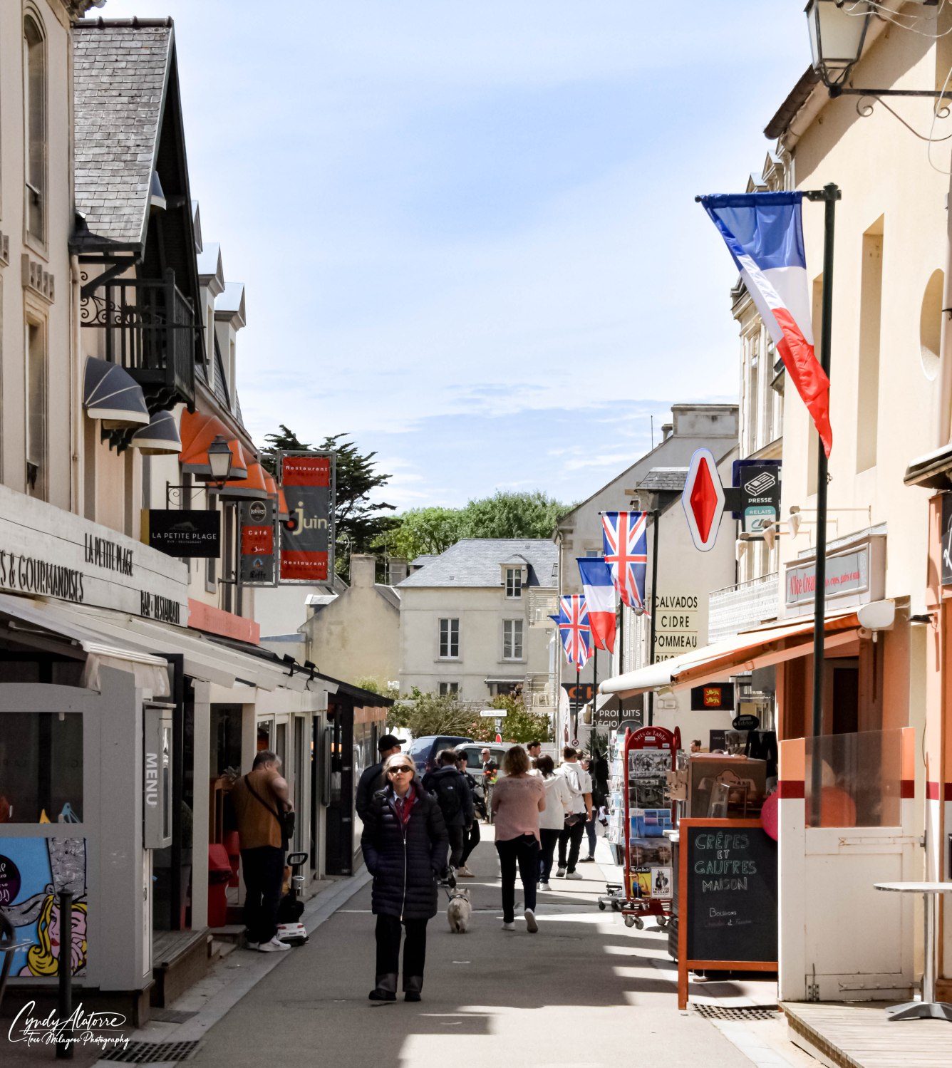
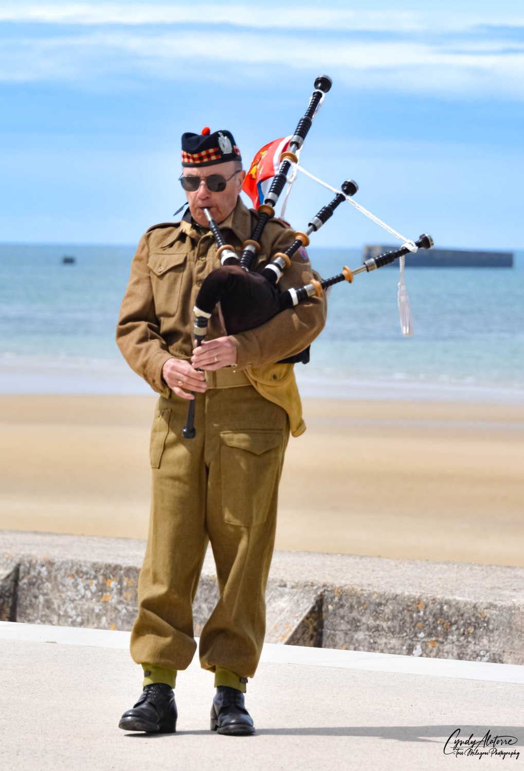
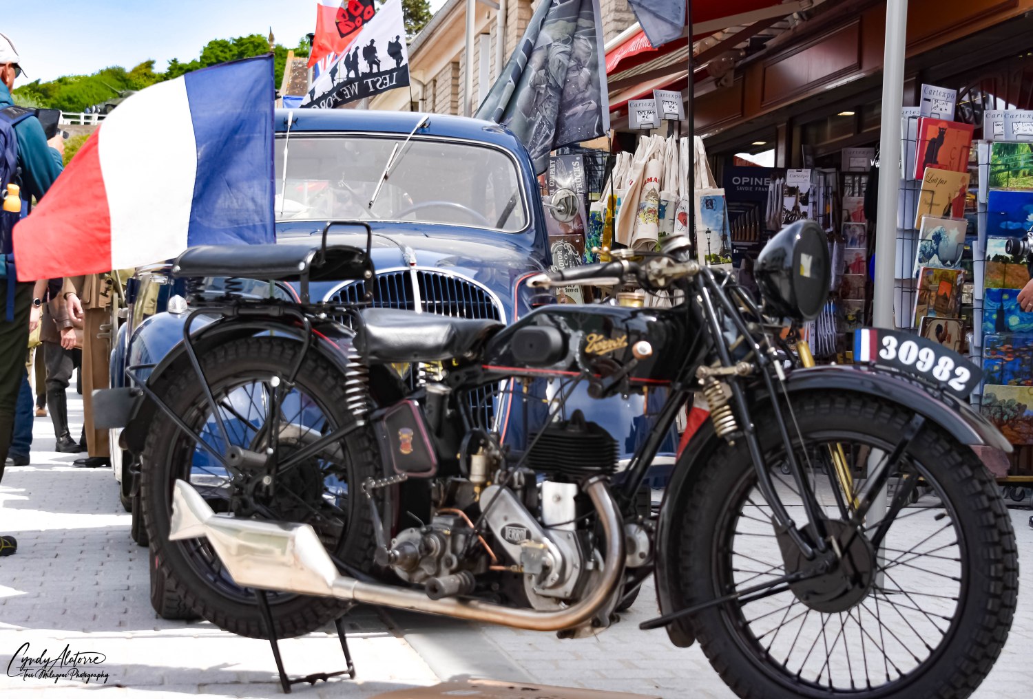
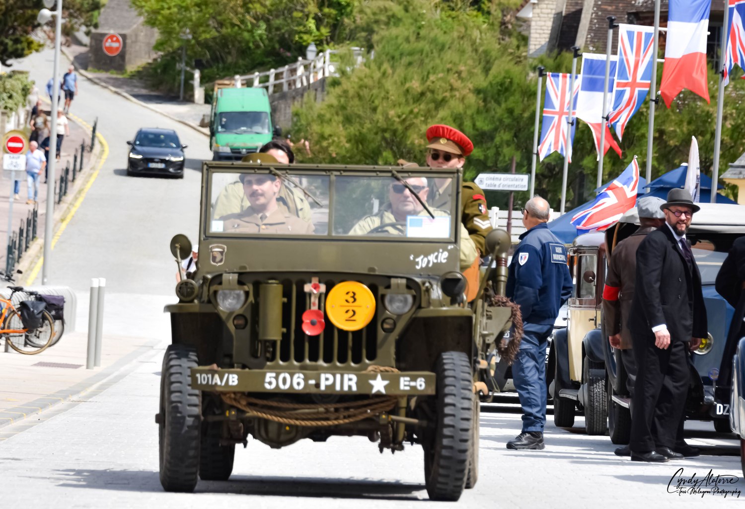
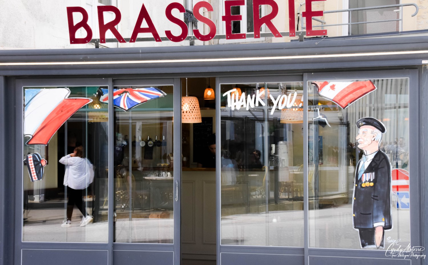
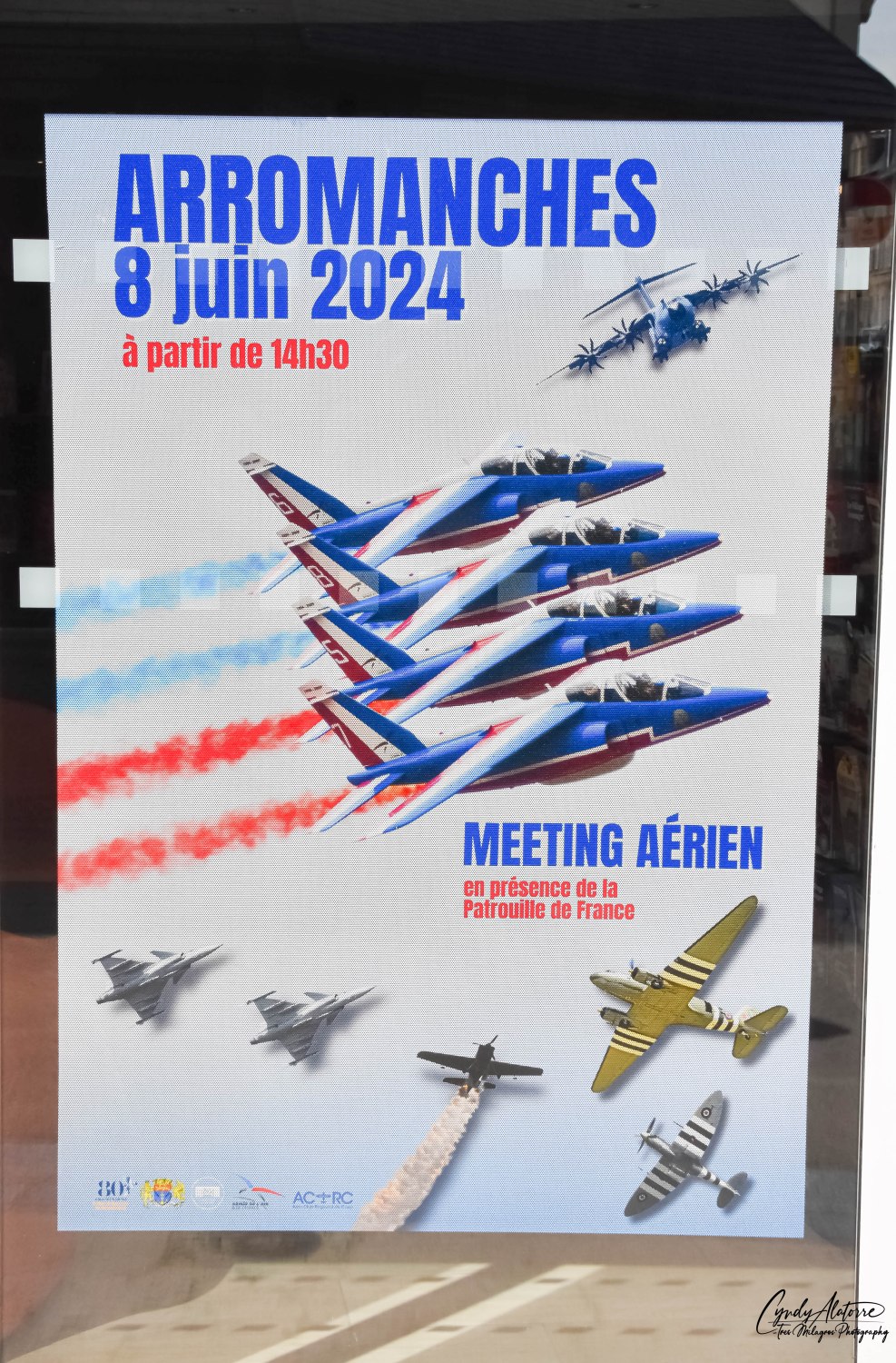
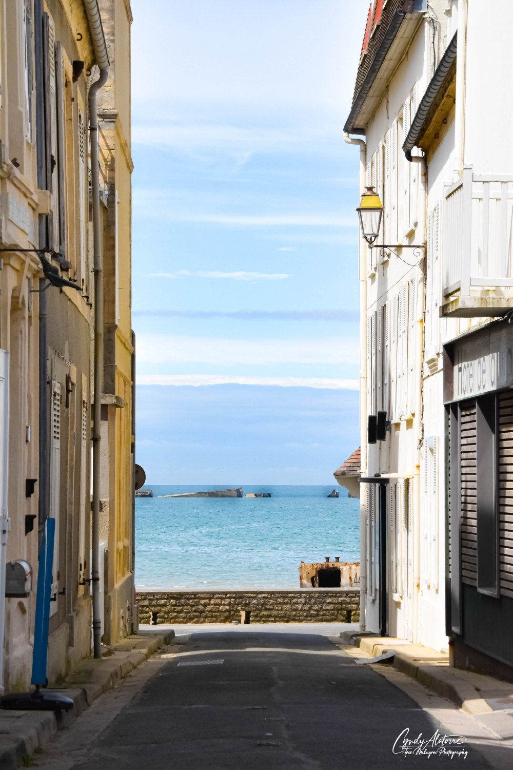
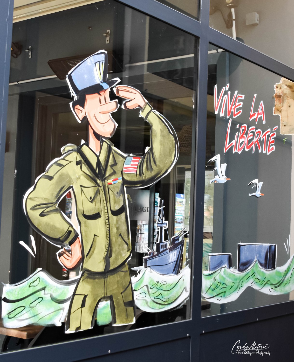
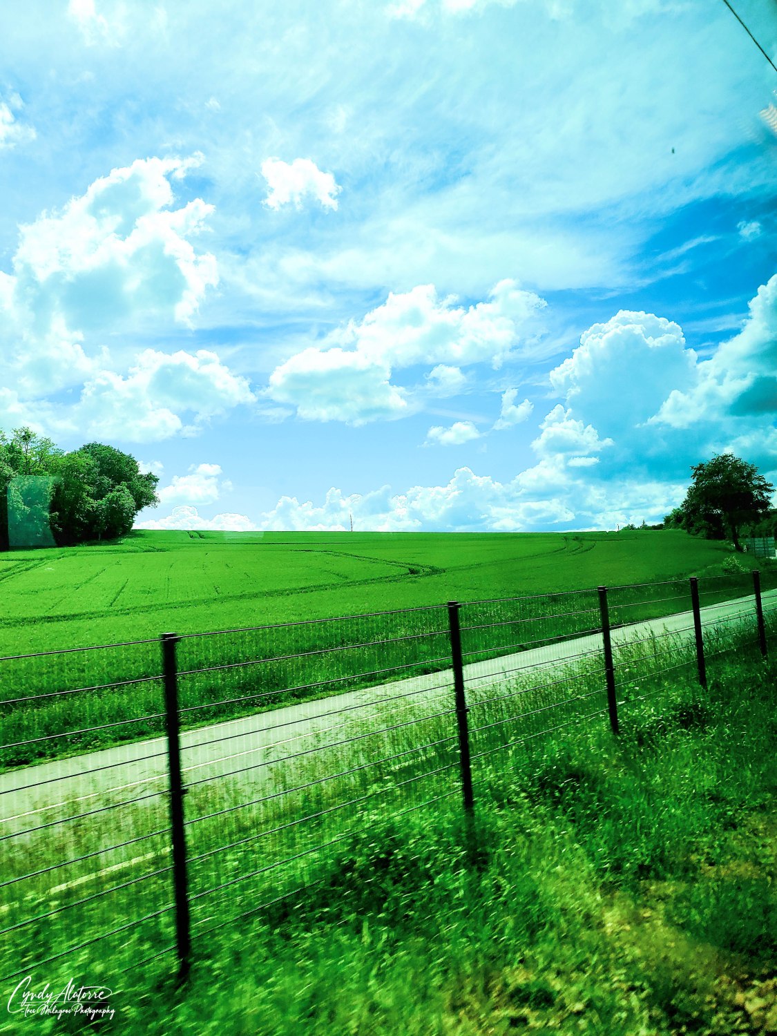
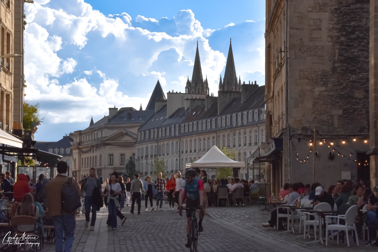
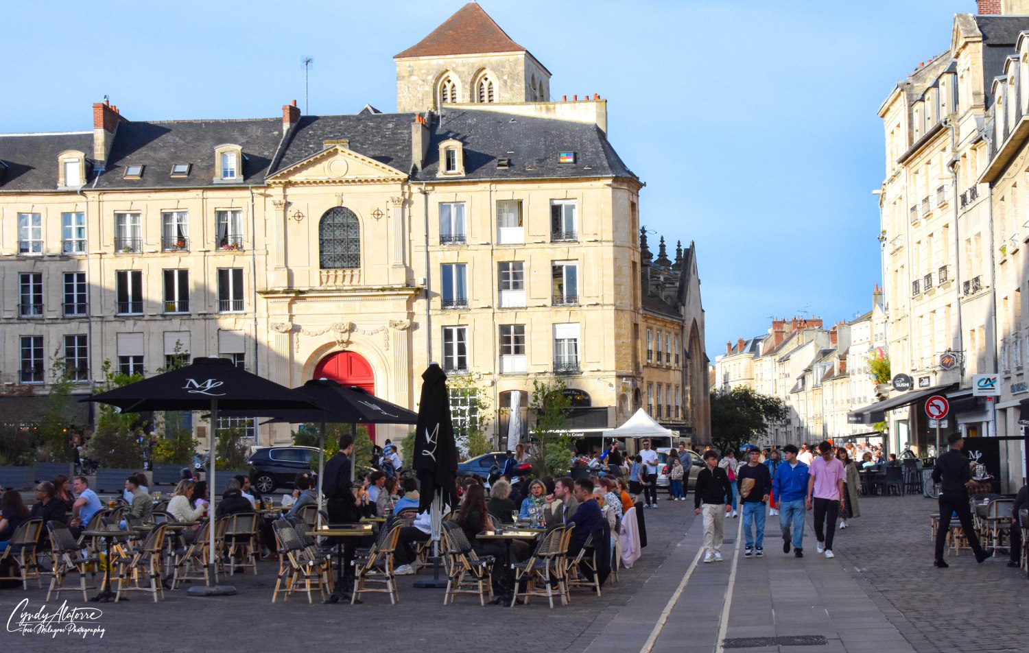
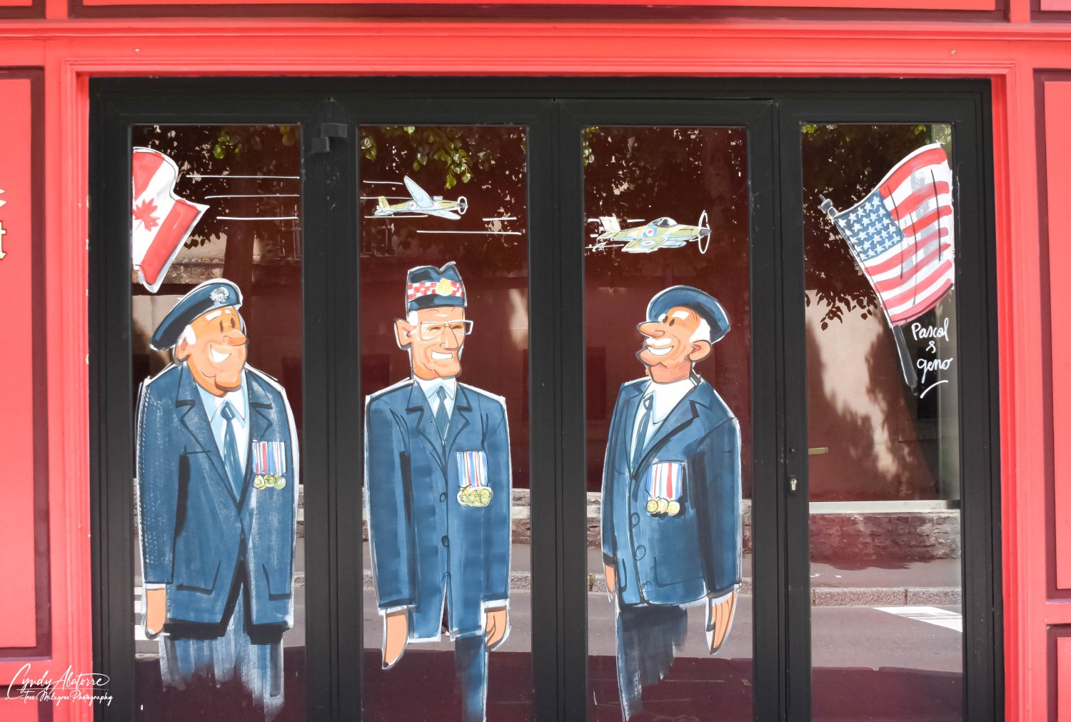
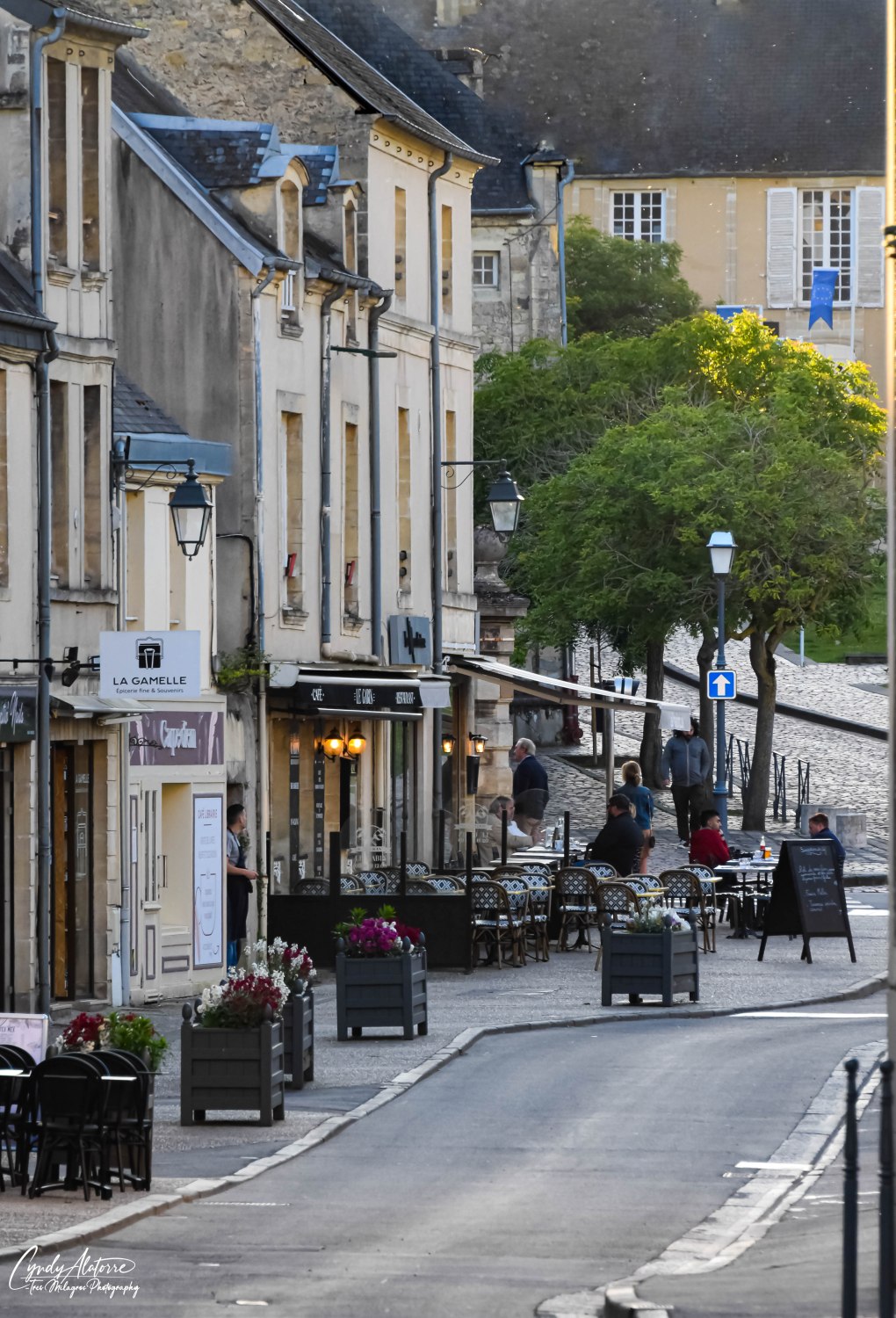
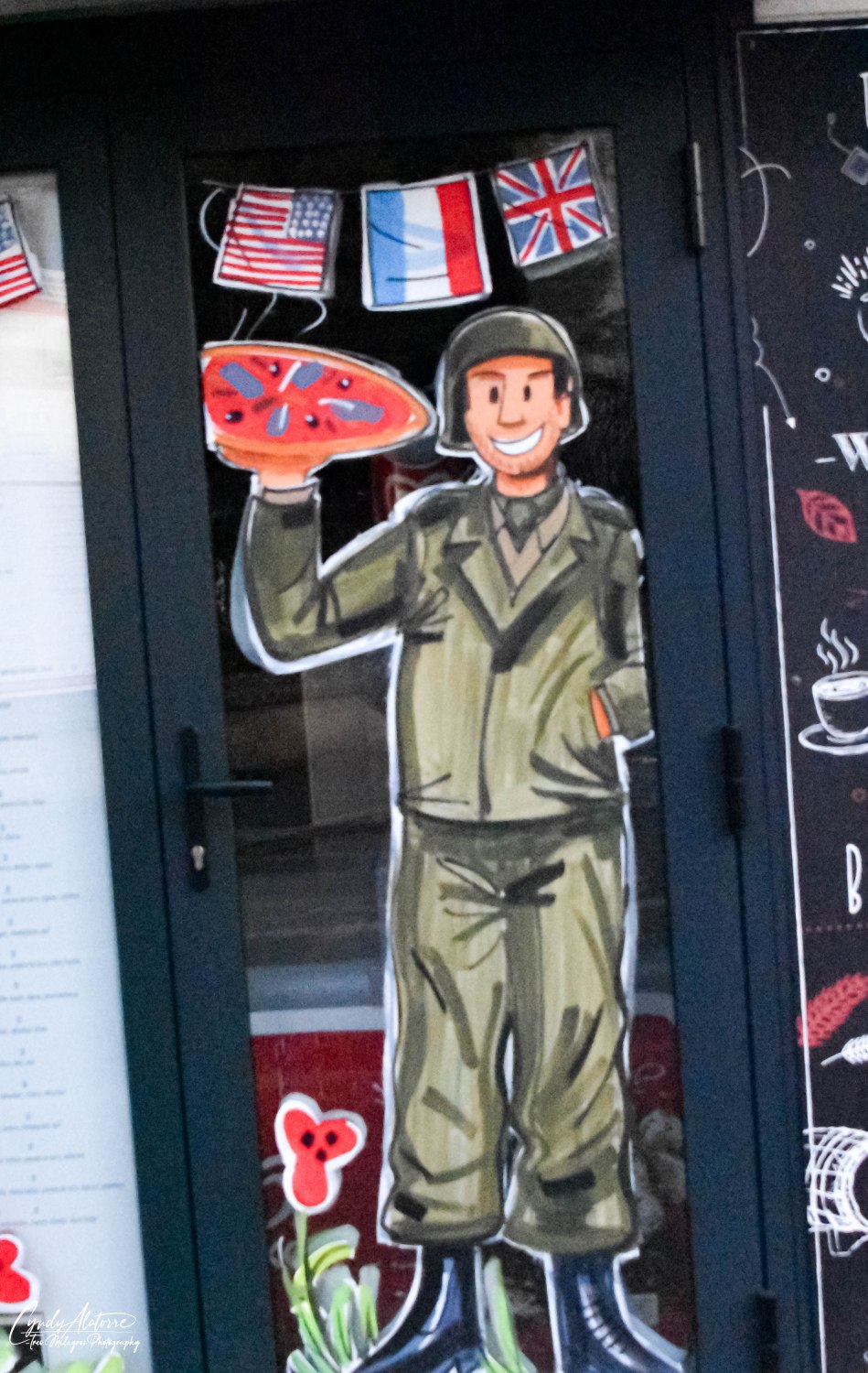
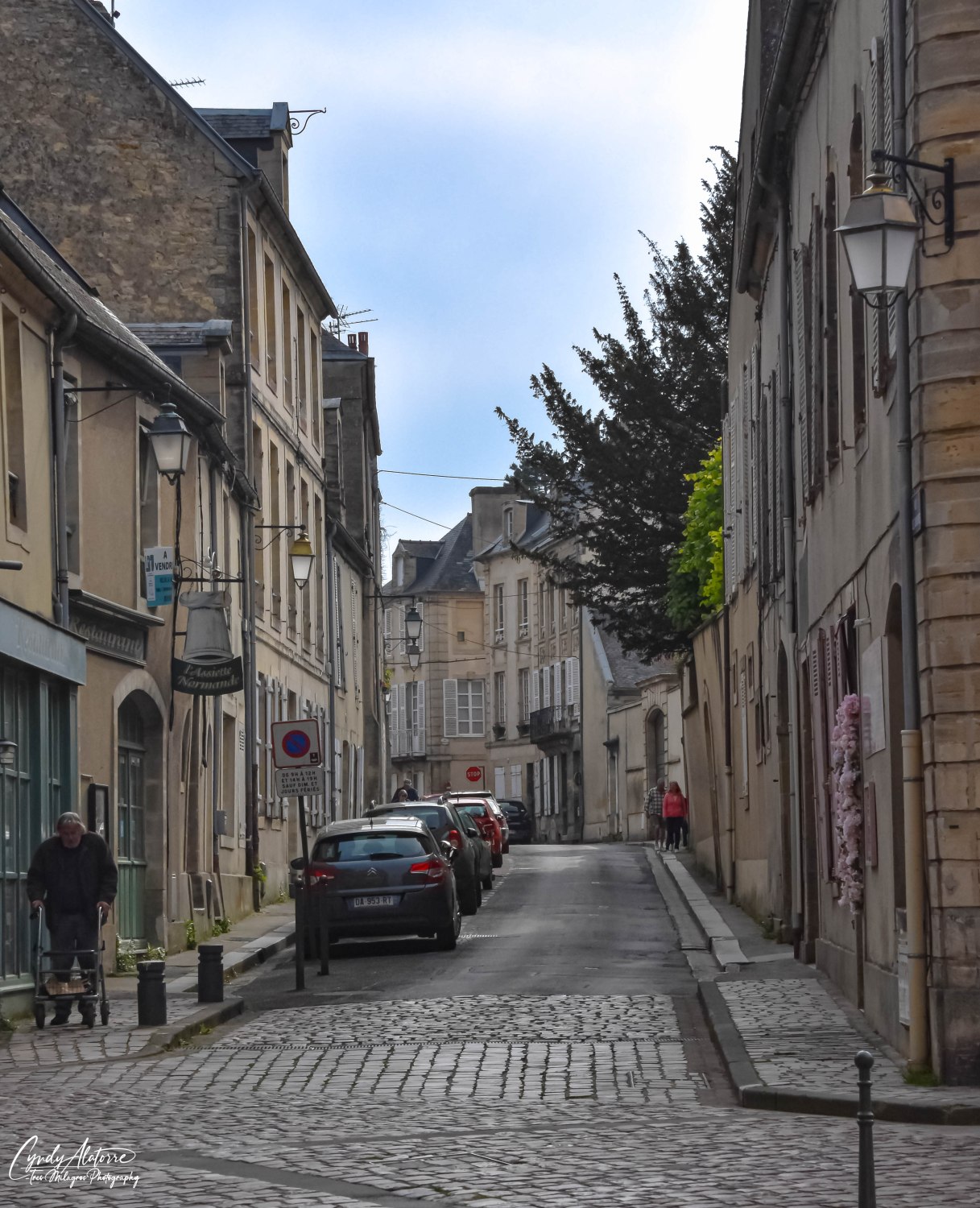
Wrapping up this “history” segment of our trip, it was time to leave. The Normandy region is a beautiful area with many towns, beaches and things to explore. Everywhere we went, the citizens of the various towns were friendly and willing to share about their small communities and expressed their appreciation for their American liberators, even 80 years later. My only regret is that we didn’t have enough time to see everything, but therein lies a silver lining in that we we just have to come to Normandy again! 

Until next time, we’ll keep moving on and see were we go via El Camino Thru My Lens.

Featured

“Build It and They Will Come” ~ Mont Saint Michel

Did you ever see the movie “Field of Dreams” with Kevin Costner? If you didn’t, he plays a farmer who lives in Iowa and is at point in his life where he wonders what he will achieve before he grows old. Then one night as he’s walking through his cornfields, he hears a voice whisper to him, “If you build it, they will come.” Shortly after, he has a vision to tear up his fields and build a baseball field. What would you do if this happen to you? Would you listen to the voice and abide by the vision or would you just ignore it? The movie and Mont Saint Michel in Normandy, France, are extremely different, but what if I told you that they both had a very similar storyline?

The story of Mont Saint Michel started in 708 A.D. when Aubert, Bishop of Avranches, had a vision from the Archangel Michael. In his vision, the Bishop was told to build a sanctuary for pilgrims to visit on Mont-Tombe, which would later be re-name Mont Saint Michel (St. Michael’s Mount). Thinking that perhaps this vision was only a dream, the Bishop ignored the request however, Archangel Michael was persistent. The story goes on to explain that the Bishop received two more visions and in the last one, Archangel Michael wanted to make sure the Bishop knew that his vision was true and not a dream and burned a small hole in his head to get his attention and whispered, “build it and they will come”. Sounds like a pretty interesting way for Archangel Michael to get his message across but apparently it worked.  

Now this request was very different from any other church, Cathedral or Basilica previously built. The site for Mont Saint Michel was to be built on a small rocky island in Normandy, just off the main land, and had a 264 foot rock perch on the island upon which the church was to be built on top of it. And if that wasn’t challenging enough, the island was cut off from the mainland twice a day by high tide. No doubt Bishop Aubert had his work cut out for him. 

Construction of the Romanesque style Abbey at Mont Saint Michel began in 708 AD and continued for over 1300 years, adding Gothic architecture in the process, until it was completed.  Perched atop this island, its spires soar 302 feet towards the sky and has a gilded golden statue of Archangel Michael presiding at the highest point. Several crypts and chapels had to be built to form a foundation that would disperse and compensate for the incredible amount of weight created by this structure. Walking through the four crypts I could see various doorways and windows that were 2 or 3 meters (6-10 feet), thick which was a good indication to the amount of support needed to build this immense structure (you’ll see these doorways in the photos below).  And while down in the crypts, the thought of this was daunting and had me thinking..”yeah, I think it’s time to go upstairs now.”  

Are you wondering why an abbey would need to be so large and heavy? During the 10th century, Mont Saint Michel had become a renowned Benedictine monastery known for its center of learning. It was subjected to attacks from the King of England, especially during the Hundred Years’ War therefore, needed to create an immense and impenetrable wall that would fortify the island. Powerful tides both exposed and protected this abbey and at times would cut Mont Saint Michel off from the mainland due to high tides, and still does even to this day. To address this issue, a newly designed walkway and road was built on stilts in 2014 and allows continuous access to Mont Saint Michel while allowing water to flow freely around the island.

Needless to say, it is a magnificent and impressive place of worship and history. Being able to walk in the abbey, rooms and halls as well as churches, you can get a sense of what life must have been like in medieval times, which was hard, cold and brutal. Walking up the 350 steps, 200 in the Grande Rue, then around 150 inside the abbey, will definitely give you a workout but the views and ability to see the various areas of Mont Saint Michel and surrounding areas are worth it and 3 million visitors a year proves it. 

With its staggering views, it is definitely one of Europe’s most unforgettable and sacred sites and continues to be a place of worship, education, and pilgrimage. It is another monumental and historical place within the gem of Normandy.  For myself, Mont Saint Michel was like no other church or basilica that I have been to and its longevity, history and sense of sacredness was majestic.  Below is a video link of Mont Saint Michel to provide a visual sample of the magnificence and grandiose of this holy site.

So Archangel Michael was right in his visions to Aubert, Bishop of Avranches.  He just had to trust the angel and act on faith: “ Build it and they will come”.  Thankfully the archbishop listened to the angel’s request to build Mont Saint Michel and who knows how many more will come to visit or complete their pilgrimage here. But one thing is for certain. If Mont Saint Michel has lasted this long, then perhaps it’ll be here for another 1000 years.

Until next time, we’ll keep moving on and see where we go via El Camino Thru My Lens.

Video of mont saint michel

Featured

“Port Winston” ~ Arromanches, France

What influences you to decide where to go when traveling? Is it time, money, visiting family or friends? Or do you just throw a dart at a map and go where it lands? Now that is a true adventurist!  For me, it can be little of all the above, but to be honest, this trip to Normandy has been on my bucket list. Both of my grandfathers served in World War II, one in Europe and the other in the South Pacific and their service during the war has always peaked my interest to learn more about the historical events and places involving World War II.

Some time back, I had read about the Normandy region with its beautiful countryside, its local culture and how it played such an important role and changed the tide in World War II and it got my attention. Throw in that I really enjoyed France on previous trips and it was a no brainer…we were going to Normandy.  The 80th anniversary for D-Day is quickly approaching (June 6th), and I wanted to educate myself before I went and so the research started.  I did my homework and read the Stephen E. Ambrose book, “D-Day”, researched other documents as well as watched “Band of Brothers”, “Masters of the Air” and “Private Ryan” and any other documentaries I could find about World War II.  I would soon find out how much more there was to learn and was enlightened about these cities and their role in changing world events. 

Once we got settled in our home base in Bayeux, it was time to go out and start exploring. Located 20 minutes or 13.2 km from us, our first stop was Arromanches, France or as it’s known “Gold Beach”. On June 6, 1944, as Allied forces landed on the beaches of Normandy to begin the liberation of  France, British and Canadian forces were landing on the beaches at Arromanches to secure this crucial site.  The allied forces needed two ports to off load their supplies to support this massive effort and the nearby deep-water ports of Cherbourg and Le Havre were occupied by the Germans, who would strongly defend these areas. 

Arromanches, was chosen to be one of two ports that the allied forces would use to bring supplies to support this massive operation and became known as “Mulberry Harbor B”.  A similar port was constructed in Saint-Laurent-sur-Mer and was named “Mulberry A”, however, it was destroyed shortly after D-Day in a storm. To say that the construction of these man made ports was an enormous and remarkable engineering feat is an understatement.

The idea of a floating harbor came from British prime minister Winston Churchill, who knew creating a harbor at sea was preferable to attempting to seize a well defended port. All of the necessary elements were there to make this happen as Arromanches was mostly untouched by the bombing on D-Day, its close proximity to the other allied forces and flat beaches would make it quick and easy to construct. 

British engineers designed these portable harbors in complete secrecy between 1943-44 and utilized 50,000 workers across the British Isles to construct these harbors. As you will see in the photos that follow each of these sections were large, weighed 6,000 tons a piece and were 60ft high, 204ft long, 62ft wide.  In total approximately 250 of these large sections were used to construct the two harbors and each one was towed across the channel by boat to use in the construction of the harbor.  Can you imagine designing these large floatable sections then transporting approximately 250 of them across the English channel over to France?

It was thought that “Mulberry B” would be used for three months however, it proved to be an efficient and significant hub for the allied forces and was instead utilized for approximately five months. During its time in service a staggering 2.5 million men, 500,000 vehicles and four million tons of supplies arrived via the port at Arromanches.  In a nod to Winston Churchill for his valiant leadership and conception of this idea, the Mulberry harbor B became known as Port Winston.

Sometime after the war, several units were towed to different locations for other projects while a good number of them still remain at Gold Beach and serve as a breakwater for the area and natural monument to educate future generations and remind them of what occurred there. When looking at the pictures that will be at the end of the post, notice how small some individuals walking by them are and it’ll put their size in perspective. And note how many are still visible and that a good number are still lurking below in the water.

Now fast forward almost 80 years later and as you drive into this proud shore community you can see that it has not forgotten it’s past nor the sacrifices made by so many for the greater good of all. Navigating through the city streets, you are met with homes that proudly fly the American and French flags and some that also include the British and Canadian flags too. Imagine the fourth of July in your neighborhood and seeing a good number of flags being flown. Arromanches does the same thing but all year round. 

Despite all its somber history, Arromanches is surrounded by beautiful and scenic cliffs. While walking on the generous beach landscape, you can stroll on the shore and appreciate the beauty of the coastline, feel the cool sea breeze blowing against your face or take in the historical weight of this area. The drive through the scenic countryside is very appealing and it is probably a stark contradiction to how the landscape might of looked some eighty years ago on D-Day.  Like it’s neighboring towns, Arromanches has it place in history and contributed to one of the greatest invasions that changed the course of World War II.

So once again, traveling has proved to be one of my best teachers. I am appreciative to the local residents who graciously welcome visitors to their small town, grateful for the opportunity to be able to see this and other historical places that changed history and lastly thankful for those who keep telling the story of Normandy so that we can avoid the same mistakes and hopefully not have history repeat itself again.

Until next time, we’ll keep moving on and see where we go via El Camino Thru My Lens.

Featured

“Bienvenue en France!” ~ Caen /Bayeux

Our travels continue and we now find ourselves in France. First stop is Normandy. It is one of 13 regions within France and located in the Northwestern part of the country with many small towns within its area. The city we first visited was Caen. Rich in history and culture it is best known for its significant role during World War II, especially in the Battle of Normandy following the D-Day landings. 

Some of its historic landmarks include the Château de Caen, a castle built by William the Conqueror in 1060 as well as two other Abbey’s (also built by William) and gothic church Église Saint Pierre that was built in 1134 and is considered one of the oldest parishes in Paris. The cityscape is an architectural mixture of medieval and modern buildings, which is a testimony to the extensive rebuilding efforts after World War II. 

During the day the city is slower paced than Paris but still active with people coming and going through their day at work and completing their daily task. But in the evening, it gets its second wind. The restaurants in these historical building and town squares came alive with people gathering to enjoy a meal together and socialize under decorative strings lights that hung above them on a recent beautiful May evening. As before, I observed and enjoyed seeing people spend time with others and I have to say I hardly noticed any phones in front of them. They genuinely were in engaged with the person(s) they were with. Seeing all these people sitting outside or in the restaurant, we couldn’t resist and had to join them. So we had a delicious dinner, enjoyed the nice environment and of course I partook in the European custom after my meal and had a café americano. What a life.

Our next stop the following day was the town of Bayeux, about 30 minutes West of Caen. Living in an urban environment, a person does not realize how much we become acclimated to city noise and visual pollution until we leave it.  Driving through the inviting and beautiful landscapes on our way to Bayeux, we saw lush green fields, open spaces, trees, flowers and houses that probably were built in the mid to late 1800’s. And did I mention about the cows in the fields? Yes, even the cows looked happy too!  It was a nice reset and what a gift to be able to enjoy this aesthetically pleasing countryside. 

Similar to Caen and other towns within Normandy, Bayeux has a rich history and was heavily involved in the Battle of Normandy following D-Day during World War II.  Bayeux was one the first towns liberated during the D-Day invasion and was not bombed at all, thanks to the actions of the French Resistance and other individuals who informed the allies that the Germans had left the city. With its proximity to the landing beaches, Bayeux became a transit hub for both soldiers, civilians and supplies. 

Bayeux also has its own claim to fame in that it houses the famous Bayeux tapestry. Hand stitched over a 1000 years ago and nearly 70 meters long (approximately 230 feet long), it was made to visually document and explain the events of the Battle of Hastings and William the Conqueror’s battle for the kingdom of England for all of his subjects to see. Viewing this artifact leaves a person impressed and amazed to think of the monumental effort of time and talent it took to create this artifact. Even more impressive is the fact it is still intact and in such good condition.

Another thing that we noticed throughout Bayeux was the colorful painted characters of American and British soldiers on the business window, commemorating the upcoming 80th anniversary of D Day and welcoming and thanking these veterans and guests that will arrive in the next few weeks. These paintings consist of flags, military figures and red poppies and had me curious to the confirm the significance of the red poppy. 

While in a small local shop (Boutique Coquelicot), that sold many pretty items with red poppies on them, I began to talk with the cashiers, named Elsa and Silla. Both ladies were welcoming and shared that the red poppy is a symbol of both remembrance and hope for a peaceful future. They went on to explain that these small red flowers are worn as a show of support for the Armed Forces community and that the troops were walking through them during the invasion. How interesting to think that while these tragic events were unfolding this small but simple flower would still be growing and making its presence known in the devastated landscape of the battlefields. They still can be seen today and we saw yellow and red poppies growing along the roads and fields as we drove around the countryside.

As with many other cities, it is home to a beautiful structure, the Cathédral de Notre-Dame de Bayeux, and it is striking. With its stained glass windows, tall arch ceilings, statues and other paintings, a person can get enveloped in how ominous yet sacred it is. Just imagining the amount of manpower and time it took to building such a special and beautiful structure, a person can appreciate it even more. 

Caen and Bayeux were definitely great stays and we really enjoyed their history (tapestry, D-Day, cathedrals), slower pace, and how centrally located it was to all the other neighboring towns. It definitely is on the list to come back and visit. So for now we say “Au Revoir” to these two cities as we get ready to move on to the next adventure and visiting several of the D-Day landing sites.

Until then, we’ll see what comes our way via El Camino Thru My Lens. 

Featured

Let’s Go/Vamonos!

 Bags are packed, passport in hand and now it’s time to go!  That’s right..it’s time to go on another adventure and see some new sights as well as to visit some favorites.  Like a kid at Christmas, my excitement to go and travel AGAIN was something that I’ve been looking forward to for the past few months and now it has finally arrived.  So your wondering, “Where are you going? “ Good question!  

Well, I’ll first say that we’ve already gotten on the plane and now are in the beautiful city of London. What a great place to start our trip.  It’s a cosmopolitan city with so much history,  places to explore, and cultures living collectively together.  After a 10 hour flight over the pond, we were welcomed with beautiful weather and felt ready to go out and explore. Jet lag? What’s that?! Yes, I hear you laughing but not to worry as half a day was spent in the sunshine and a good night sleep got us up and running up to speed the next day. 

First off, London has some of the most beautiful parks. The Royal Park system encompasses ten parks throughout the city which covers a total of over 5,000 acres. These historic parklands are just amazing and provide beautiful green landscapes throughout the city, but I’ll touch on that more in depth in my next post.  With a list of things to see and do, it seemed like a good idea to start off with a visit to Buckingham Palace for the changing of the guard

 This traditional ceremony dates back to the reign of King Henry VII and has been performed at the palace since Queen Victoria began her residence there in 1837.  The exchange occurs behind the gates of the palace and the Royal Air Force and Queen’s Guardsmen bands performed for the crowd after the exchange took place. Once they completed their setlist, their procession took them along The Mall,which is the primary ceremonial road located in front of the palace. Watching the Royal Air Force march in their attractive uniforms as well as seeing the Queen’s Guardsmen in their bright red and black uniforms with their large bearskin hats on was a nice showing of their traditional and contemporary military rituals coming together as one.

 And with that, the adventures of El Camino Thru My Lens on the road starts.  Below are some photos of this event and I’ll be posting more very soon to keep you posted and bring you along with me. If you have a minute, please subscribe to the blog site and stay up to date. You will get an email notifying you whenever I post a blog and you can follow and see where my lens will take me. 

 Glad you are coming along on this adventure and look forward to sharing some more photos and observations with you. And as always, feel free to comment and or let me know if you have any questions or thoughts. 

So until next time, be well and we’ll see what comes our way via El Camino Thur My lens.

 Cheers!

Featured

“Welcome to Gruene, Texas!”

Recently I’ve found myself traveling more often to my home state of Texas and it’s always good to go back and visit. Each trip seems to feed my curiosity to go explore a new town so that I can get a pulse of the area. Gruene is a town that has been on my list so on my last trip I had some extra time and off we went! 

Located just North of San Antonio, near New Braunfels, this small and welcoming town was a great find. Now before I go on, I have to admit that it took me a minute and a few guesses to get the correct pronunciation of Gruene, which for the record sounds like the color “Green”.  There are a few more cities and counties around San Antonio who’s name are also of German origin and spelling, but pronounced differently than they are spelled but that’s another blog for another time. 

Following a two lane road and guided by the trees and banks of the Guadalupe River, you are directed into Gruene. Founded in 1878 by Henry D. Gurene, the town has gone through its fair share of good and challenging times. The town has stood the test of time with historical landmarks, like the Gruene dance hall, that still draws visitors nearly 150 years later.

Built in 1878 the Gruene Dance Hall is the oldest operating dance hall to date in the state of Texas. Modest in its design and layout, it has hosted and been visited by many famous artist and was the home base for George Strait before he achieved fame.  Even Hollywood came and sought out The Gruene Dance Hall to film the dance scene John Travolta performed in his movie “Michael”. Entering the hall through its old wood frame screen doors, (like the ones your aunt or grandmother might have had at their home), it sparks a sense of familiarity. The building welcomes you and soon you might find yourself at the bar getting a beer and then gravitating to the wood benches and picnic tables. Screen material line the walls in lieu of glass windows and serves its purpose to keep the hall ventilated on a warm summer day or cool when the dance floor is busy with people two stepping and twirling on the dance floor.   

The mercantile located across the street, is tall and proud. Built of red brick, it marks the main street corner in Gruene and has proven to be a mainstay of the town. Built in 1904, it bears the name of H.D. Gruene and still operates as a mercantile. The general store across the street is a mix of store and soda fountain bar. You could almost imagine people sitting on the silver based bar stools with bright red cushioning, now cracked with age, with their sodas or shakes on top of the dark wood counter.  Various types of candy and sweets are generously displayed on the counter and you have to wonder how many conversations have occurred at that counter.

Before we ended our visit, we decided to get some lunch and ended up at the Gristmill restaurant, which use to serve as a former cotton gin. Located next to the Gruene dance hall, the cotton gin had burned down in 1922 and was refurbished into an eatery in the 1970’s. With the Guadalupe River located within a few hundred yards, patrons can eat on the outdoor patios and enjoy the sounds and view or can dine in the open aired rooms that invite the outdoors inside while paying homage to its cotton gin origins. Several rooms within the restaurant have fireplaces and a few of them have some local decor on them, like “Lupe”,  the taxidermy long horned steered head mount (who you’ll see in the photos attached), who kept a watchful eye on us during lunch.  

Gruene did not disappoint and was a nice small county town to visit. So next time you happen to be near San Antonio or New Braunfels, and are going tubing on the Guadalupe river or want to stop by to see the oldest dance hall in Texas and meet some nice folks, consider stopping by Gruene. And don’t forget to go by and visit the Gristmill restaurant and make sure you say “hi” to Lupe for me.

Until next time, we’ll see what comes our way via El Camino Thru My Lens.